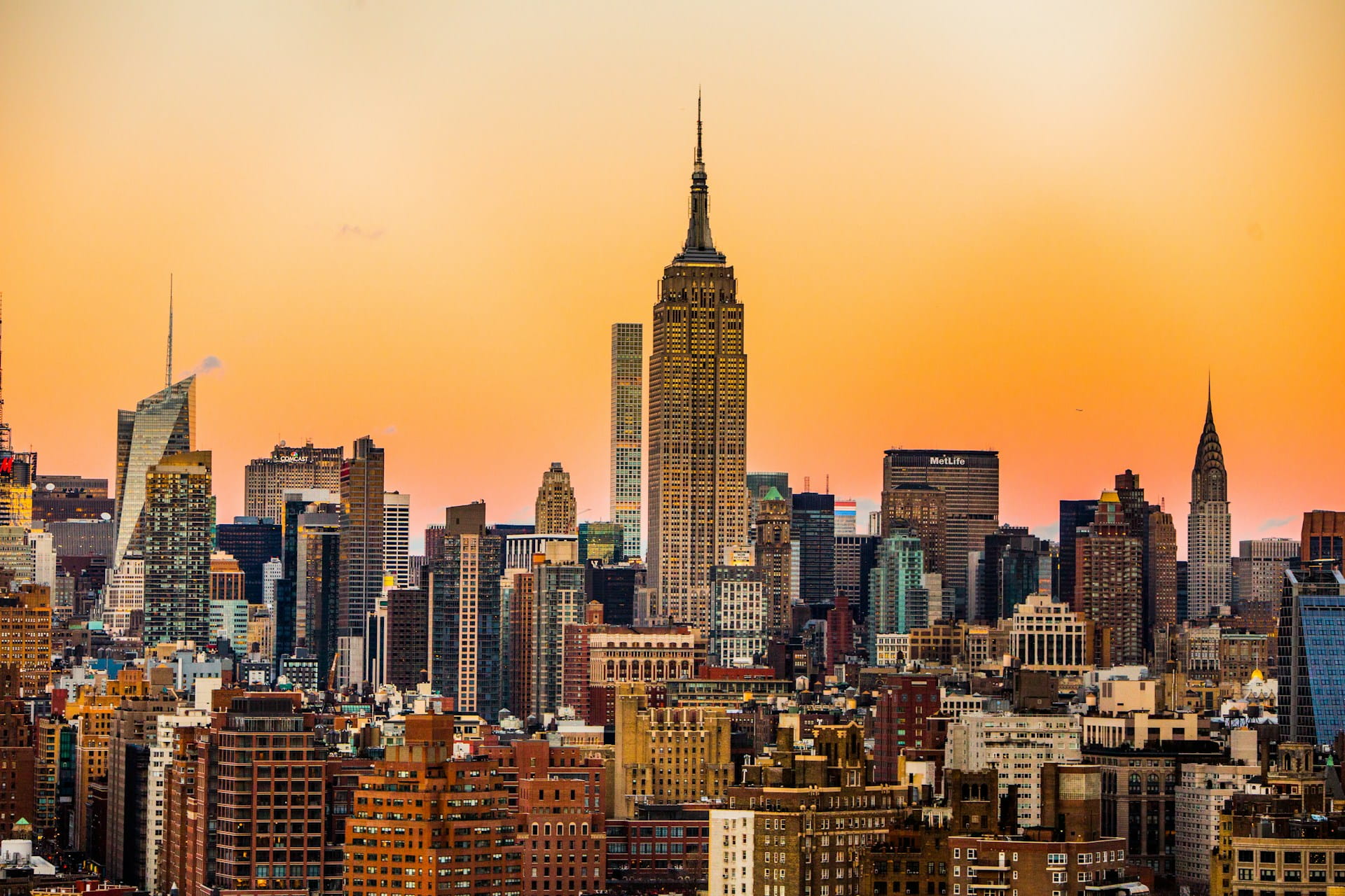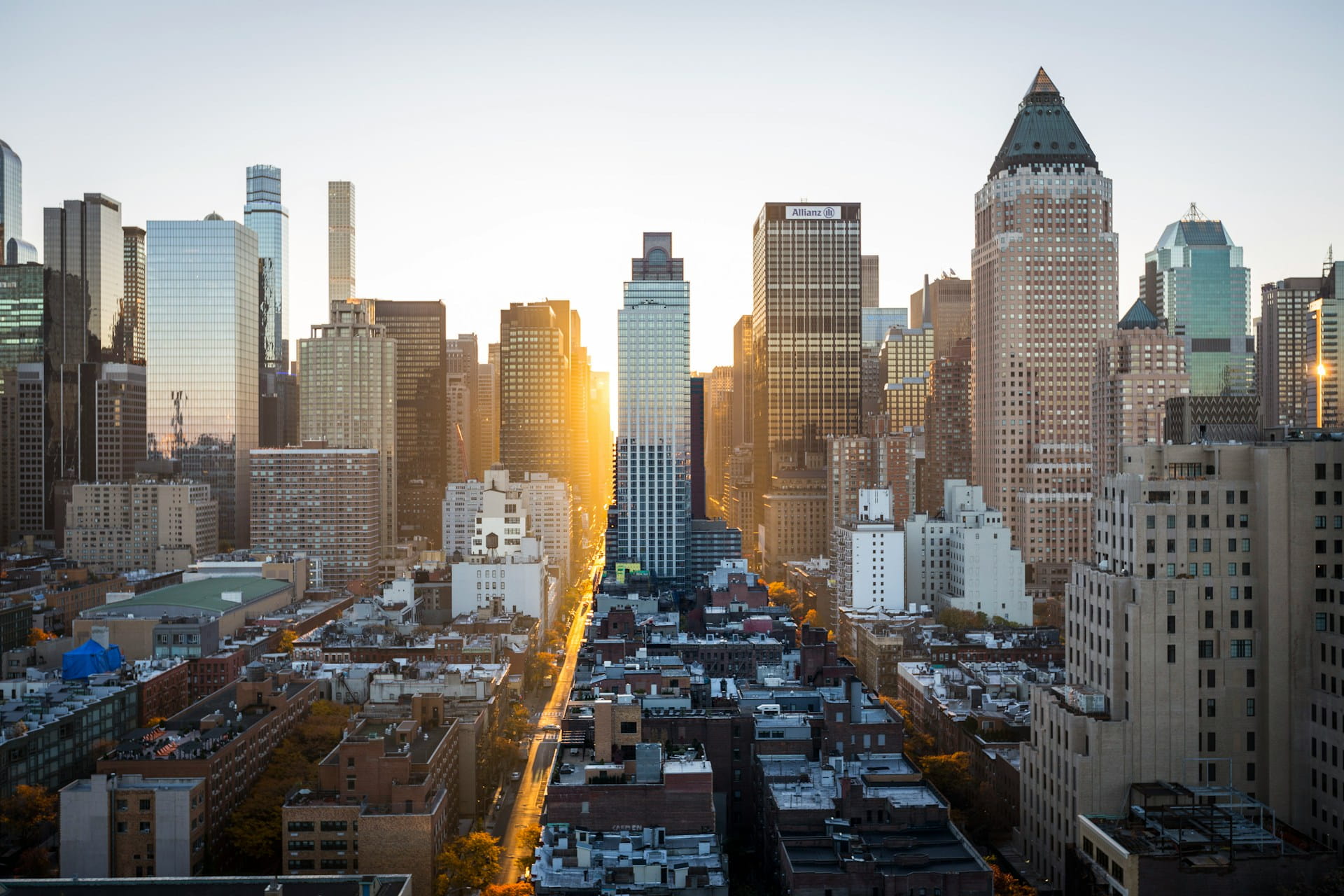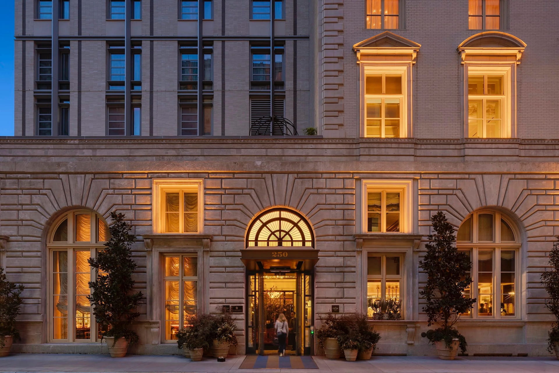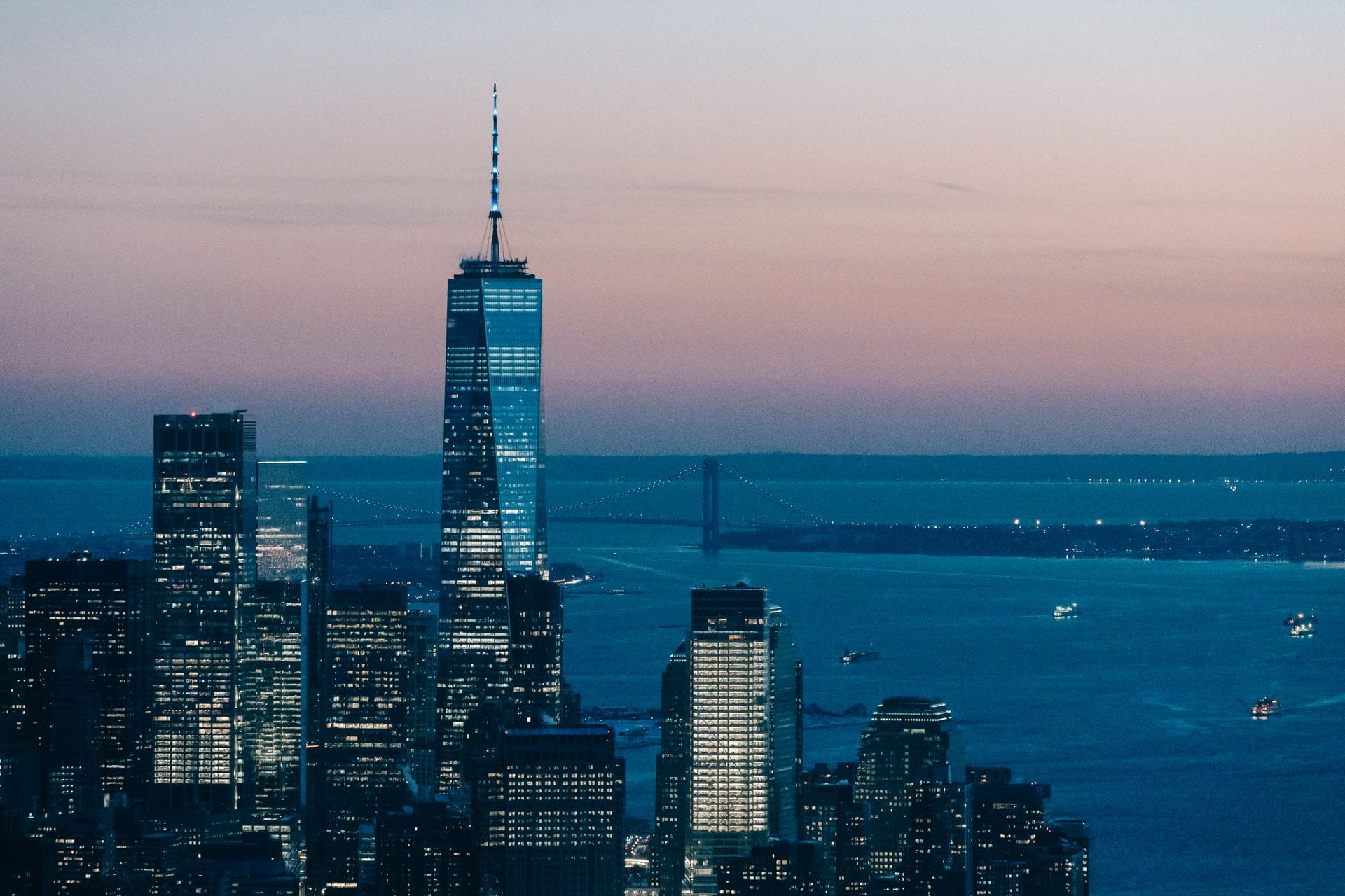
The stretch of Manhattan that runs from Hudson Yards south into Chelsea has become one of the clearest illustrations of concentrated redevelopment in the city. Residents, visitors, and capital alike now treat this band as a single West Side growth corridor NYC story rather than a collection of isolated projects. Foundation tracks how the pieces fit together so non-experts can follow the map without jargon.
Hudson Yards Northern Anchor and Its Pull
Hudson Yards sits above the railyards and sets the northern pole of the corridor. Its commercial towers, residential blocks, and cultural venues created an immediate critical mass of workers and residents. That mass draws daily foot traffic and weekend crowds that spill beyond the original development lines. The result is pressure on every block to the south for higher intensity uses.
Office floors here absorbed tenants who once preferred Midtown core addresses. At the same time luxury condominiums and rental towers added thousands of new households. Their spending power supports the restaurants and service businesses that now line the connecting streets. Early observers wondered whether the district would feel isolated; today the question is how far its influence travels.
Data from the Federal Reserve Bank of New York help frame the scale of private investment that followed the initial public commitments. Construction spending, employment gains, and retail sales all rose in successive waves once the first platforms opened. Those numbers continue to color every appraisal of adjacent parcels.
Southward Density Climb Into Chelsea
Moving south from the railyards, density does not drop sharply. Instead it reappears in clusters of mid-rise and high-rise residential buildings that replaced older industrial shells. Chelsea absorbed this pressure with a mix of conversions and new construction. Blocks that once held warehouses now hold glass and masonry towers sharing walls with galleries and townhouses.
The transition feels gradual rather than abrupt because street widths and park edges stay constant. Pedestrians walk from the newer plaza environments into the older grid without dramatic visual breaks. That continuity encourages residents to treat the entire length as one living district. Rents and sale prices show the same continuous gradient rather than sharp cutoffs.
Some older loft buildings kept their character by adding floors or reconfiguring interiors. Others came down completely to make room for larger floor plates demanded by contemporary floor plans. Both approaches raise the average height and the number of units per acre, pushing the corridor deeper into residential markets that once sat farther west.
Transit Links That Bind the Entire Length
Subway lines, bus routes, and ferry terminals keep the corridor functional for daily movement. The 7 train extension and existing A, C, and E service give workers and residents rapid access north and south. Surface buses fill the remaining gaps for short hops between stations. Together they reduce the friction that once made the far West Side feel remote.
Hudson River ferry landings add another option for reverse commuters and visitors coming from New Jersey. The extra capacity shows up in ridership reports that the City of New York publishes each year. Higher ridership correlates with higher residential absorption rates along the waterfront blocks.
Future capacity will matter as more towers open. Planners already study station entrances and platform lengths to avoid bottlenecks. Any improvement that shortens waits or improves transfer times multiplies the value of every nearby lot. Investors therefore watch transit announcements as carefully as they watch zoning maps.
Mixed Use Buildings and Ground Floor Energy
Modern buildings along this route rarely devote entire floors to a single use. Residential towers typically reserve ground and second floors for retail, fitness, or medical suites. Office structures leave lobby space for cafés that serve both tenants and passers-by. The pattern keeps sidewalks active after office hours and on weekends.
Galleries and small performance spaces have migrated into the newer stock as well. Their presence softens the corporate edges that pure office districts sometimes develop. Visitors who come for art stay for dinner and stroll farther south or north. That circulation is what turns a string of projects into a recognizable corridor.
Retail vacancy rates stay comparatively low because the mix of daytime and evening users remains balanced. Operators report that both white-collar workers and residential households contribute to weekend sales. The dual customer base buffers the corridor against any single sector slowdown.
Capital Streams Supporting New Construction
Domestic institutional funds, foreign family offices, and cross-border joint ventures all compete for sites inside the corridor. Interest-rate paths set by the US Federal Reserve influence the cost of construction debt, yet equity continues to appear for well-located parcels. Sponsors who secure both financing and entitlements move quickly once those pieces lock into place.
Some of the capital arrives through channels already familiar to Foundation readers who follow Cross-Border Capital Flows Between New York and Tel Aviv. Other pools come from domestic pension funds seeking long-duration urban assets. The variety of sources means that a temporary pause in one channel rarely freezes all activity.
Debt maturities on older buildings create opportunities for recapitalization or repositioning. That dynamic ties directly into broader questions explored in Manhattan Real Estate in 2026: Office Dislocation and the Debt Maturity Wave. Owners who refinance or sell then free capital that often re-enters the same corridor in new form.
Zoning Frameworks That Shape Allowable Heights
Special districts and bulk regulations determine how high and how dense each site can go. Hudson Yards benefits from the large-scale special district written years earlier, while Chelsea relies on a patchwork of older residential and manufacturing zones that have been amended over time. The differences produce the stepped skyline visible from the High Line.
Community boards and City Council review still influence the final bulk for larger projects. Applicants who propose public benefits, such as open space or affordable units, often gain additional floor area. Those negotiations keep the corridor evolving without a single master plan covering every lot.
Observers who want to place the West Side story inside city-wide patterns can consult the New York Real Estate Market Trends archive. Parallel processes appear in Infrastructure Investment Driving Growth in New York's Outer Boroughs and in The Outer Borough Growth Corridor: Emerging Trends and Data. Comparing them shows what is unique about the Hudson Yards-to-Chelsea band and what is simply the latest chapter of New York densification.
Spillover Toward Adjacent Districts
Pressure generated inside the corridor does not stop at its informal southern edge. Blocks farther into the West Village and Meatpacking District feel rising rents and more competitive land sales. Similar effects appear across the river in Long Island City, where many of the same capital sources seek secondary locations. Foundation has already mapped that dynamic in Long Island City's BRRRR Opportunity: Queens' Growth Frontier.
Brooklyn neighborhoods experience their own version of the same capital migration. Strategies that work for emerging areas there are catalogued in A Smart Strategy Playbook for Brooklyn's Emerging Neighborhoods. Readers who master those frameworks gain tools that transfer back to the Manhattan West Side as well.
Questions about zoning maps, tax incentives, or financing structures surface often enough that Foundation keeps an updated FAQ (frequently asked questions) page. Checking that resource first saves time before diving into site-specific due diligence.
Taken together, the corridor from Hudson Yards through Chelsea demonstrates how transit, capital, zoning, and mixed-use design can reinforce one another over a multi-decade period. New Yorkers who live or work inside it already experience the results in daily street life. Those watching from outside can use the same factors to anticipate where the next measurable gains will appear.
Related Foundation reading: How Does Office-to-Residential Conversion Actually Increase Value?.
Timeless Value. Perpetual Legacy.